Today’s chosen theme: “Navigating Mountain Trails in Different Seasons.” Step into a year-round adventure where maps, weather, and wise decisions transform rugged paths into unforgettable journeys. Say hello in the comments and subscribe for more seasonal trail wisdom!
Season-Smarts: How Mountains Change and How Navigation Adapts
Snowfields hide cairns, swollen creeks redraw crossings, and summer dust erases faint footbeds. Train your eye to spot subtle slope aspects, wind scouring, and melt channels that shift your route choices from map ideals to on-the-ground realities.
Season-Smarts: How Mountains Change and How Navigation Adapts
Pair paper maps and a baseplate compass with GPS tracks in summer and autumn; add altimeter, avalanche forecasts, and reflective wands in winter; carry microspikes and trekking poles during spring thaw. Comment with your must-carry seasonal combo.
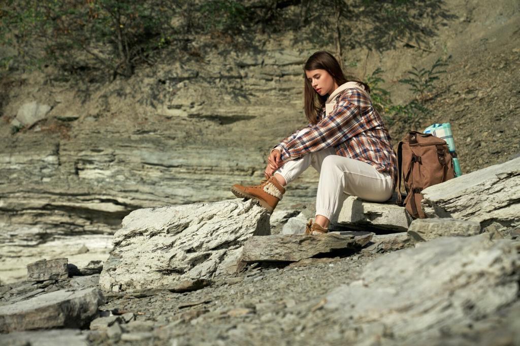
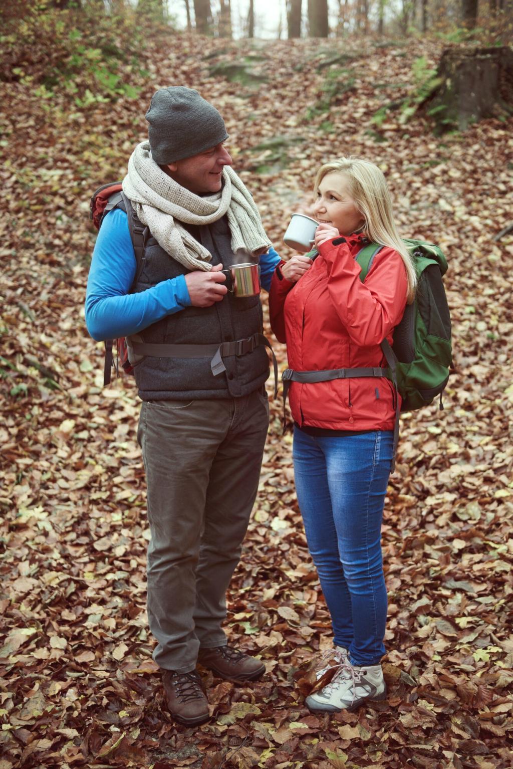
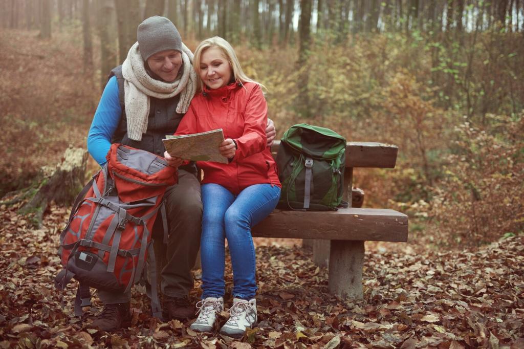
Spring: Thaw Lines, Overflowing Creeks, and Fragile Trails
Sun-warmed snow bridges can sound hollow; probe with poles and cross where the channel narrows. If creeks rage, scout upstream for braided sections, unbuckle your pack, and use a downstream-facing stance. Share your safest spring crossing tips below.
North aspects cling to ice while south aspects slush into ball bearings. Microspikes help, but route selections matter more. Favor sun-softened traverses in the morning chill and shaded switchbacks after noon. Note conditions and update local trail reports.
Avoid postholing through meadows and step on durable surfaces like rock. If a section is signed closed, honor it so roots and soils can heal. Tell us where you’ve seen good spring stewardship and how the community can amplify it.
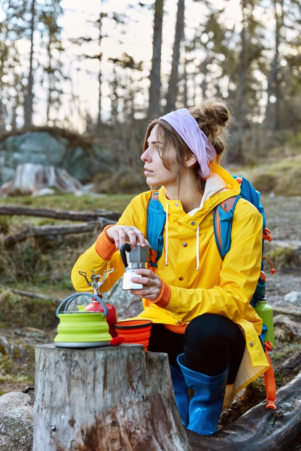
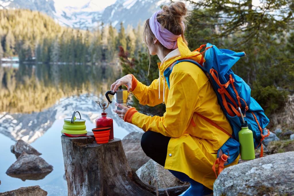
Summer: Heat, Haze, and Thunderheads
Start before dawn, climb shaded aspects early, and reserve exposed ridges for cooler hours. Mark water sources on your map and carry a backup filter. What predawn rituals keep you steady when the forecast screams triple-digit valley heat?
Look for cut banks, water bars, and lichen-scraped rock that betray the true line beneath leaves. Trekking poles reveal voids and slick patches. Post your best autumn navigation photo and tell us the subtle clue that saved your ankles.
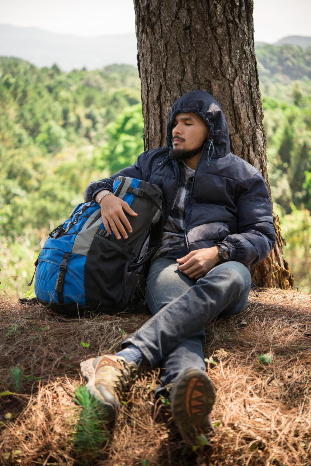
Winter: Snowpack, Whiteouts, and Avalanche Terrain
Use handrails like ridgelines and creek beds, set short legs between wands, and confirm progress with altimeter checks. In flat light, contrast lenses and frequent bearings reduce drift. Comment if you’ve practiced leapfrogging wands with your group.
Winter: Snowpack, Whiteouts, and Avalanche Terrain
Slopes between 30–45 degrees, terrain traps like gullies, and wind-loaded aspects demand caution. Consult forecasts, carry beacon, shovel, probe, and turn around when uncertainty grows. If trained, share one key field observation that guides your decisions.
Universal Navigation Habits That Work Year-Round
Mark junctions, creek crossings, and treeline exits as decision nodes. For each, create if–then branches before you start. When conditions shift, your pre-made choices prevent panic and keep the group aligned without argument or delay.